Service
Mapping long terms trends in deforestation
Assess Deforestation / Degradation, Forestry, Assess forest types, Monitor forest resources, Detect illegal forest activities, Assess environmental impact of forestry
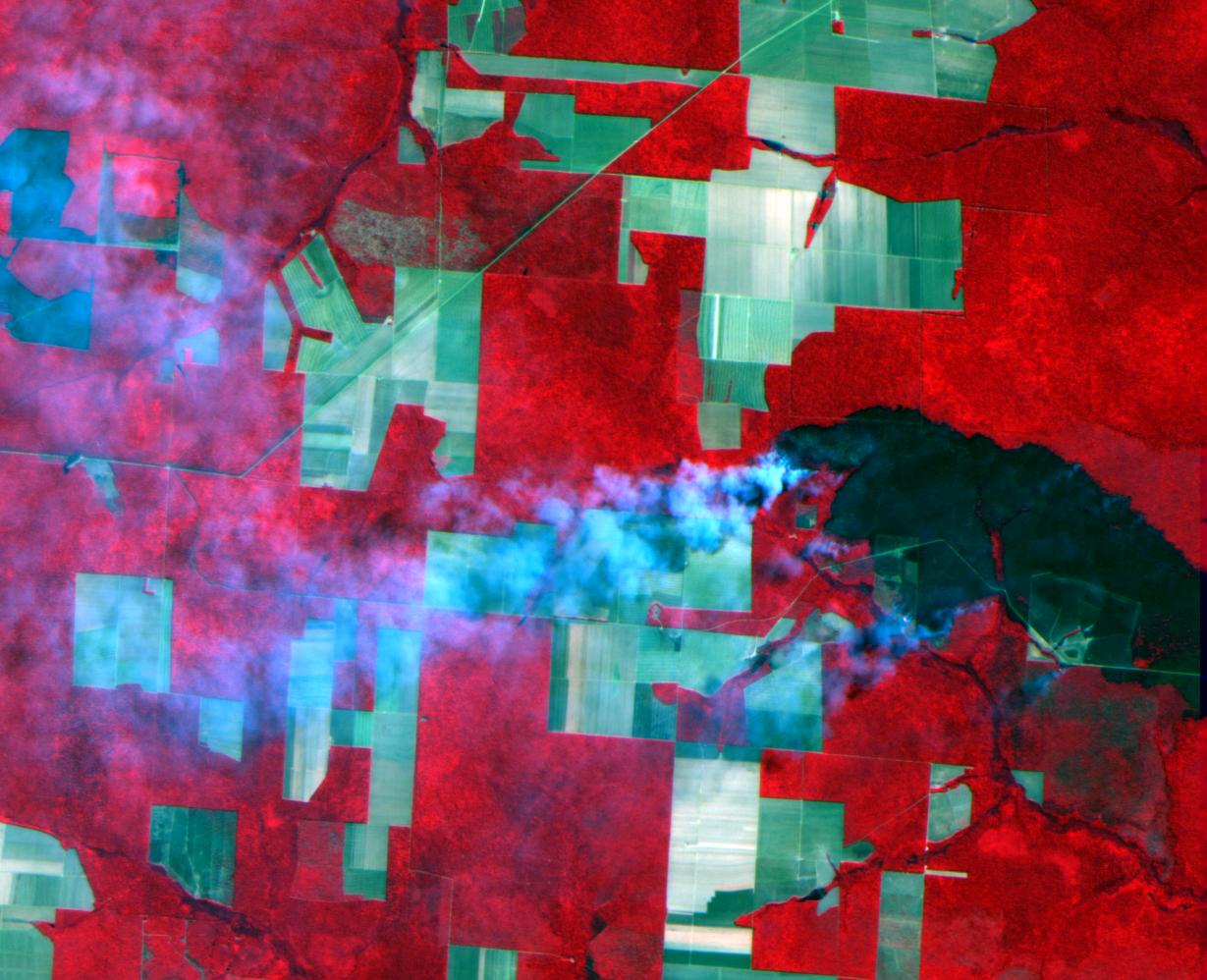
Provide annually high resolution satellite imagery coverage to estimate areas of deforestation. The imagery campaign focuses on achieving a full coverage in short imaging windows to achieve homogeneity of data for analysis.

services
Related Content

Assess environmental impact of farming, Agriculture, Assessing crop damage due to storms, Monitor crop disease and stress, Assess crop acreage and yield. Harvest, Monitor specific crops types, Forecast crop yields, Detect illegal or undesired crops, Monitor water use on crops and horticulture, Measure land use statistics, Monitor high risk areas, Education, training and research, Assess environmental impact of farming, Enviroment, Pollution and Climate, Assess changes in the carbon balance, Assess climate change risk, Measure land use statistics, Assess changes in the carbon balance, Forestry, Assess Deforestation / Degradation, Detect and monitor wildfires, Assess forest types, Monitor forest resources, Detect illegal forest activities, Assess environmental impact of forestry, Assessing forest damage due to storms or insects, Monitor high risk areas, Local and regional planners, Assess changes to urban and rural areas, Monitor high risk areas, News and Media, Monitor high risk areas, Real-estate management, Monitor high risk areas, Retail and geo-marketing, Monitor high risk areas, Security, Defence and military
High and Very High Resolution Satellite Imagery. Rapid revisit, time series and long-term mapping imagery for agriculture, cartography, change detection, telecomms and all other applications.

Assess changes in the carbon balance, Forestry, Assess Deforestation / Degradation, Detect and monitor wildfires, Assess forest types, Monitor forest resources, Detect illegal forest activities, Assess environmental impact of forestry, Monitor forest carbon content, Monitor forest diversity, Assessing forest damage due to storms or insects
Deforestation alert services, plantation location and area, plantation performance. Decrease and mitigate risk, plan investments, increase production.

Assess environmental impact of farming, Agriculture, Assessing crop damage due to storms, Monitor crop disease and stress, Assess crop acreage and yield. Harvest, Monitor specific crops types, Forecast crop yields, Detect illegal or undesired crops, Monitor water use on crops and horticulture, Measure land use statistics, Measure soil water index, Assess damage from industrial accidents, Emergency Services, Detect and monitor arid areas, Assess damage from earthquakes, Forecast and map large waves, Detect and monitor wildfires, Map and assess Flooding, Forecast and assess landslides, Monitor water bodies, Assess changes in the carbon balance, Forestry, Assess Deforestation / Degradation, Detect and monitor wildfires, Assess forest types, Monitor forest resources, Detect illegal forest activities, Assess environmental impact of forestry, Monitor forest carbon content, Monitor forest diversity, Assessing forest damage due to storms or insects, Forecasting air quality parameters, Humanitarian Operations and health, Assess air pollutant dispersion, Detect and monitor arid areas, Forecasting epidemics and diseases, Monitor atmosphere composition, Detect sensitive security risks, Map disaster areas, Monitor water use on crops and horticulture, Detect and monitor hurricanes and typhoons, Monit humanitarian movement and camps, Monitor water bodies, Assess pressures on populations, migration, Forecasting exposure, Assess damage from earthquakes, News and Media, Detect and monitor wildfires, Monitor business activity, Detect sensitive security risks, Monitor high risk areas
Leverage budget to do large-scale assessments and fieldwork prioritization. By adding satellite data to your certification process you can scale up orders of magnitude.

Monitor water use on crops and horticulture, Agriculture, Measure land use statistics, Measure soil water index, Assess changes in the carbon balance, Alternative Energy, Map hydroelectric and wind farms, Assess environmental impact of human activities, Construction, Measure land use statistics, Assess changes in the carbon balance, Education, training and research, Assess changes to urban and rural areas, Detect and monitor arid areas, Emergency Services, Detect and monitor wildfires, Assess environmental impact of farming, Enviroment, Pollution and Climate, Assess changes in the carbon balance, Assess environmental impact of human activities, Assess changes in land use and quality, Assess changes in the carbon balance, Forestry, Assess Deforestation / Degradation, Detect and monitor wildfires, Assess forest types, Monitor forest resources, Detect illegal forest activities, Assess environmental impact of forestry, Monitor forest carbon content, Monitor forest diversity, Assessing forest damage due to storms or insects, Detect and monitor wildfires, Insurance and Finance, Assess pressures on populations, migration, Local and regional planners, Monitor forest diversity, Assess changes to urban and rural areas, Assess environmental impact of human activities, Minerals and Mining, Measure land use statistics, Detect and monitor wildfires, News and Media, Assess environmental impact of farming, Real-estate management, Assess environmental impact of human activities, Forecasting epidemics and diseases, Security, Defence and military, Monitor economic activity, Assess environmental impact of human activities, Transport, Assess changes to urban and rural areas, Assess changes in land use and quality, Travel, Tourism and Leisure, Assess changes in the carbon balance, Utilities, Assess environmental impact of human activities, Assess changes to urban and rural areas, Assess ground water and run-off, Map and assess Flooding, Map and assess Flooding
EOForest is GMV’s service on forestry-related geo-information products, to support organizations managing forest resources: forest-based industry, environmental and conservation agencies, public bodies with reporting commitments (e.g. wrt climate change ) and private forest owners. EOforest fuses remotely sensed data (radar, optical, lidar) with co-located ground measurements to create the spatial intelligence for Sustainable Forest Management. EOforest can be customized to any specific users' needs and provided in any region
