Historia exitosa
Earth Observation to support solar energy investments and production optimization

SuccessStory.Intro
Flyby’s SolarSAT system uses weather satellite data to estimate the potential of solar cell power plants and monitor their performance. The approach helps to give a faster return on investments in clean solar energy.
SuccessStory.BackgroundProject
Making the Eo satellite information available to photovoltaic plant design & monitoring is a result of the ENVISOLAR project, funded by ESA within the framework of its Earth Observation Market Development Programme and supported by the German Space Agency DLR. ENVISOLAR project gave birth to a suite of commercial products whose brand is ‘SolarSAT’. ESA's technology transfer broker D’Appolonia then helped Sonepar Immobiliare e Servizi (SIS) S.p.A., an Italian distributor of photovoltaic (PV) plants, to integrate Flyby’s SolarSAT solution in their systems, with successful result for several plants in Italy.
SuccessStory.IssueAndNeeds
The amount of solar energy reaching the earth (i.e. the irradiance) can be calculated by feeding EO data into an algorithm that takes into account the interaction between solar light and atmosphere, soil and sea. One of such algorithms was developed by Flyby and is applied to available EO data, i.e. data that are collected directly at Flyby’s premises, via a satellite link. Irradiances of areas whose EO data are not directly available to Flyby are supplied to Flyby by major European institutions through commercial agreements. Both historical irradiances and current irradiances are exploited: the former are used to define the energy typically available for the location, by averaging data along 10 or 20 years; the latter are used to define the reference producible energy to which the actual production must be compared
SuccessStory.ProposedSolution
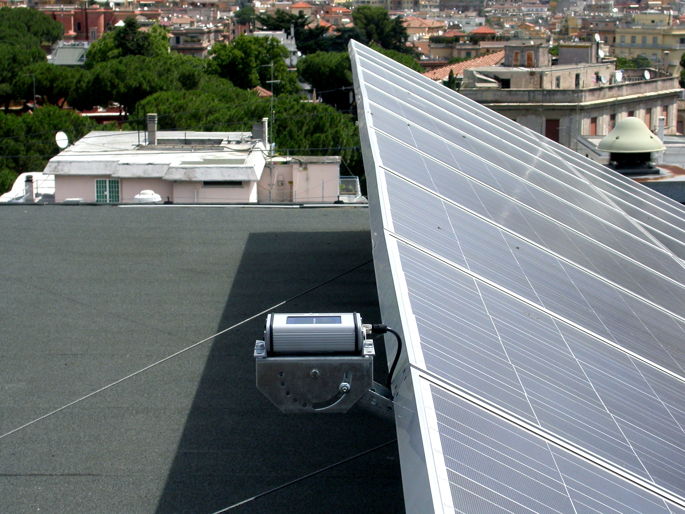
Upon Envisolar project completion in 2007, Flyby came up with a solution where weather information from satellites is used first to plan investments in future installations and then to check if the solar cells in a photovoltaic plant are working well and producing the expected amount of electricity. During the phase of planning new photovoltaic installation Flyby’s SolarSAT PV-Planner allows customers to design their PV plants using a simulation tool that exploits historical satellite irradiances for any given location. It estimates the potential of the electricity production and helps identifying the optimal size and position of the solar panels, information needed for the economic analysis and evaluation of a new installation. The SolarSAT PV-controller tool is the other Flyby satellite-based solution for monitoring remotely the status and efficiency of PV plants. It retrieves the working status, monitors the produced energy and compares it with the expected one (producible energy)
SuccessStory.IndustryPerspective
The satellite solar irradiation data which is used in the Flyby’s SolarSAT PV-Planner and PVController comes from two Meteosat Second Generation satellites: Meteosat-8 and Meteosat-9. The services providing these data and products have been jointly developed by ESA and EUMETSAT and are an important instrument to improve the monitoring of photovoltaic installations. Data provided by the above Meteosat satellites comprise Europe and Africa, so the SolarSAT system could well be exploited within energy application programmes like RCCP (Regional Climate Change Programme) in which Southern Africa is targeted.

